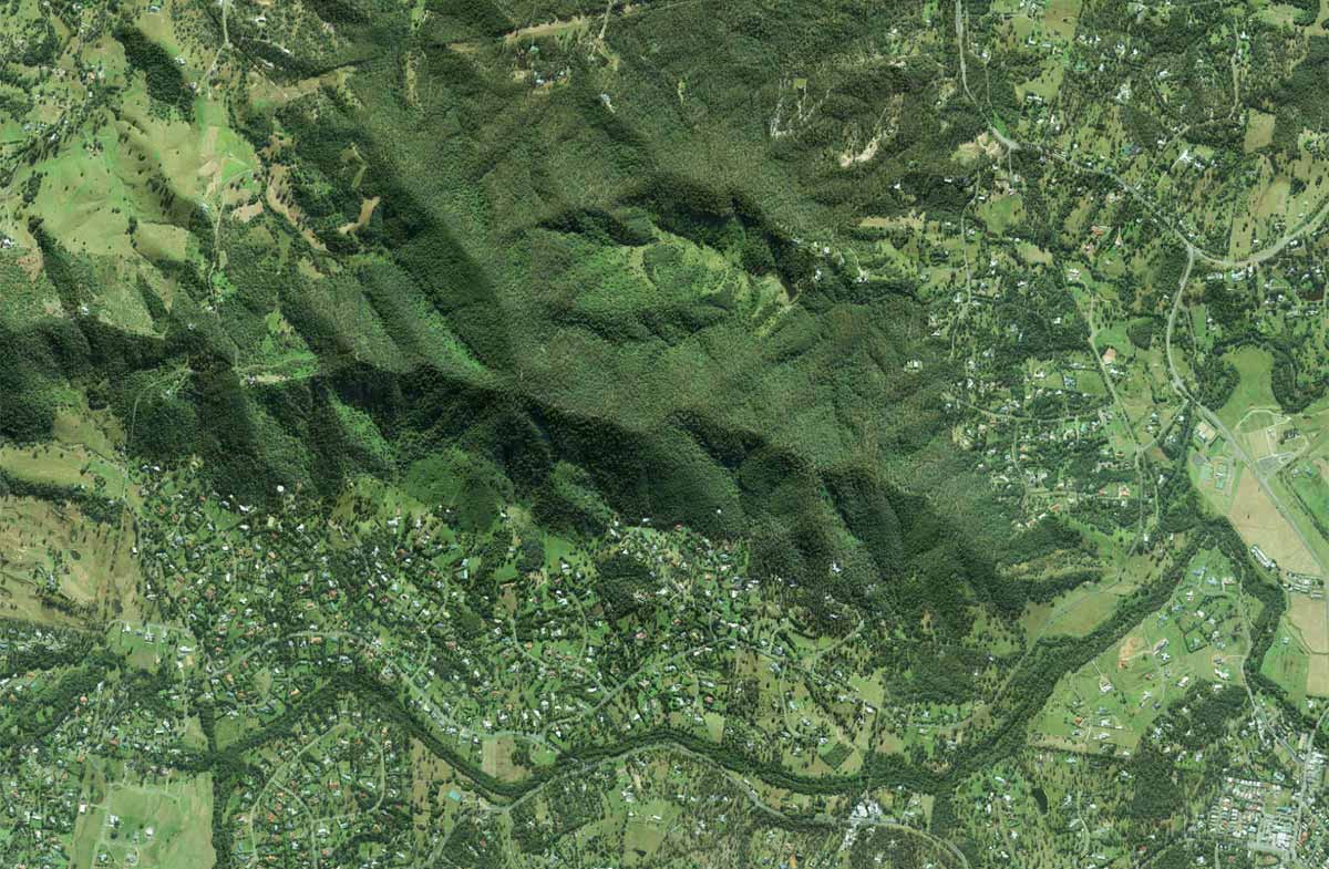
Brian Burke Reserve Aerial Photography

Call Chris Power: 0431629464 | E-mail: chris@rastermatics.com.au| ABN 54 984 366 851
The progression of images below show the progress of bushfire hazard potential using LiDAR and Multispectral Data. The results are used by local councils in the production of Bushfire Action Plans